Hurricanes
Part of the Nature's Fury: The Science of Natural Disasters exhibition.
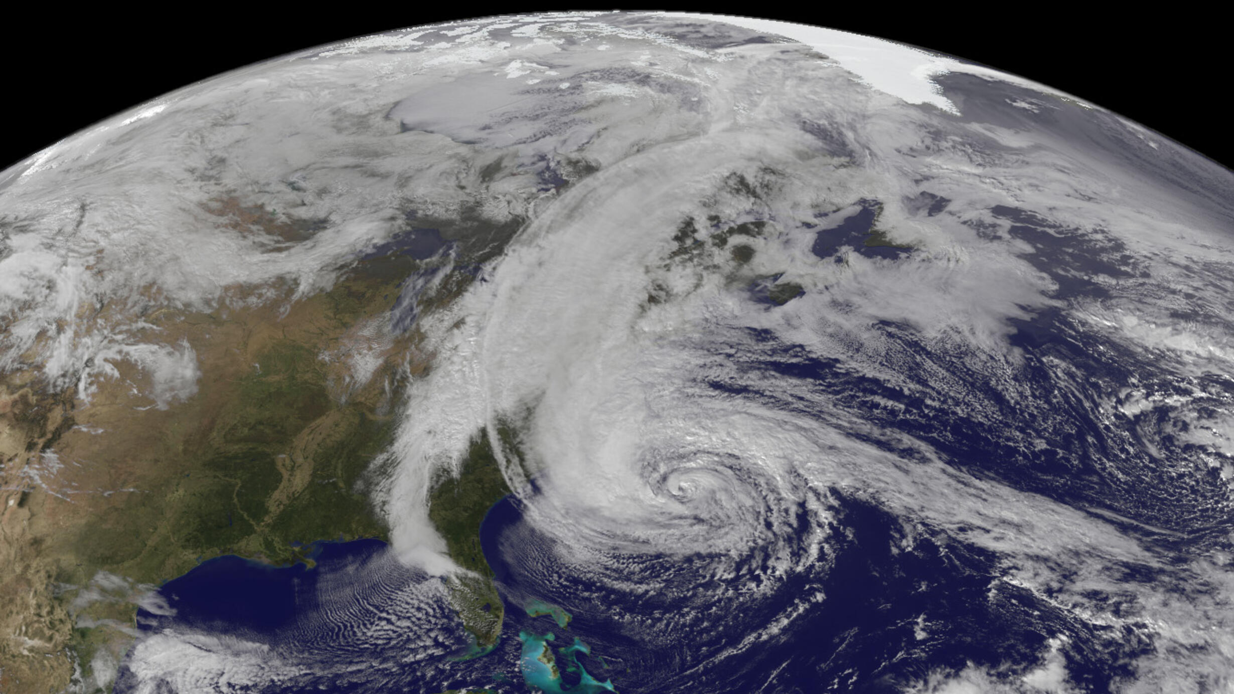 The eye of Hurricane Sandy.
 ©NASA
People in other parts of the world call them typhoons or cyclones. But they are all the same thing: a rotating storm that forms in the tropics (that’s near the equator) and has winds of at least 74 miles per hour (119 kilometers per hour).
“Hurricane” comes from Hurican, the name of an evil god for ancient peoples in the Caribbean. They took the name from Hurakan, the name the ancient Maya of Mexico gave to their god of wind and storm. For people in the tropics, these storms have always been a part of life.
Hurricane Sandy
October 29, 2012
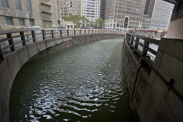
In late October 2012, Hurricane Sandy devastated parts of New York City and the surrounding area. Why was it so destructive?
- Sandy was huge, but its winds were far from the worst New York had seen.
- The storm brought less than an inch of rain, and its arrival took no one by surprise.
- A terrible coincidence is partly to blame. In some of the worst-hit places, an exceptionally massive storm surge arrived at almost the same moment as an unusually high tide.
Visit Nature’s Fury: The Science of Natural Disasters to explore how—and why—Sandy became New York's greatest natural disaster via an interactive touchtable map of the city.
Hurricane Katrina
August 23, 2005
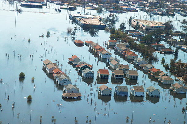
Katrina was only a Category 3 hurricane when it hit New Orleans in August 2005. But circumstances conspired to make it one of the worst disasters in U.S. history.
The ingredients for disaster were in place before Katrina even hit.
- New Orleans is almost entirely below sea level and surrounded by water.
- City officials had known for years that a major hurricane could cause the levees (walls that hold the water back) to fail. But the problem was never addressed, even as the planet warmed and sea levels rose.
- Meanwhile the canals and floodwalls built to make the Louisiana coast habitable for humans have displaced the sediments that support its wetlands.
- Louisiana’s coastal wetlands, which form a natural barrier against hurricanes, are disappearing at a rate of 33 football fields a day.
Lead image: Hurricane Sandy as seen from space. ©NASA.