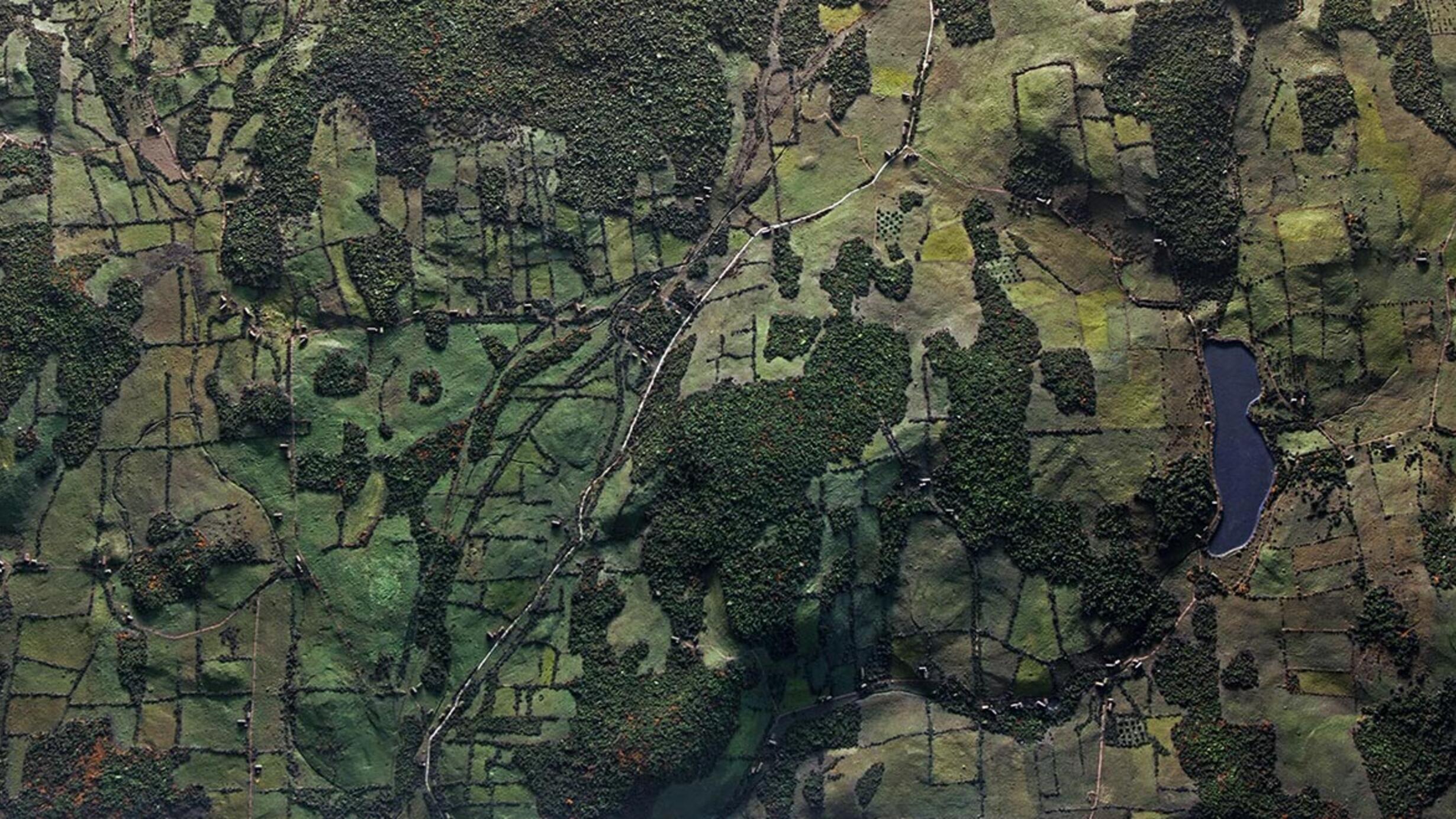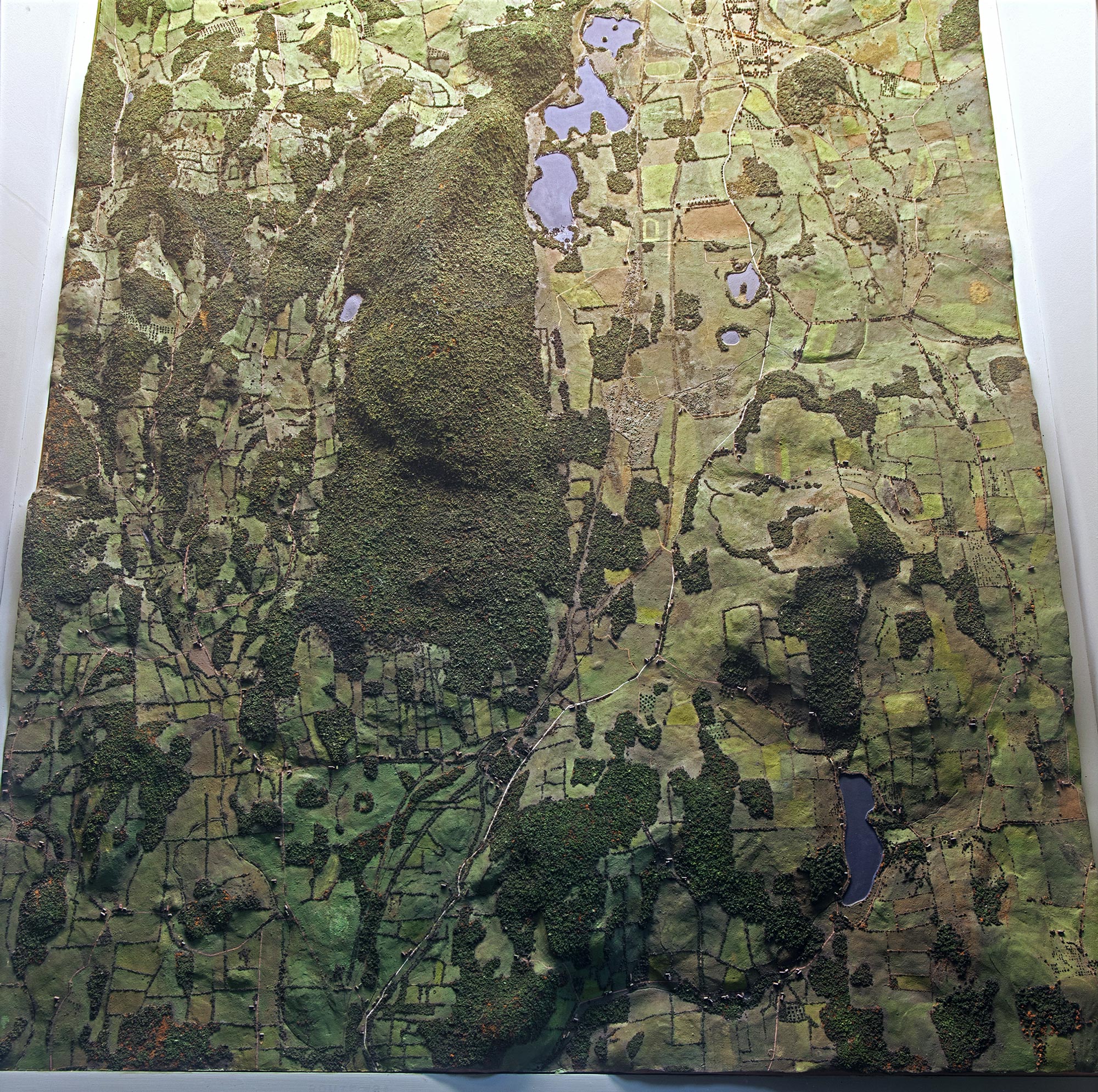
Bird's Eye View of Stissing Mountain and the Valley Of Fine
Part of Hall of New York State Environment.
Part of Hall of New York State Environment.
This region was chosen as a basis for the hall because it has mountains, natural lakes, forests, a variety of rock formations, and both wild and cultivated land. The map covers an area 8 miles long and 5 miles wide.
SCALE: 1 foot - 1 mile
Stissing Mountain is about 1,500 feet high Vertical elevation x5