EARTHQUAKES
TREMORS FROM BELOW
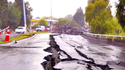
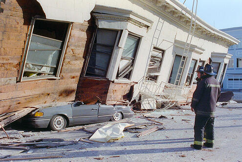
Earthquakes are happening all the time. Most are so small that people don’t even feel them. But some can be very powerful. If they occur near towns and cities, they can make buildings and bridges sway or even collapse.
Earthquakes can also occur along the seafloor and cause it to move. And if the quake is powerful enough, it can trigger waves that travel across the ocean. These waves grow taller as they approach land, becoming a tsunami. Tsunamis can have devastating effects on people.
What causes earthquakes? And how do scientists study them?
Let’s find out.
Tsunami Sweeps South Pacific
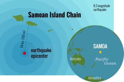
On the morning of September 29, 2009, a strong undersea earthquake occurred near the Samoan island chain in the South Pacific. It happened as children were getting ready for school and adults were dressing for work.
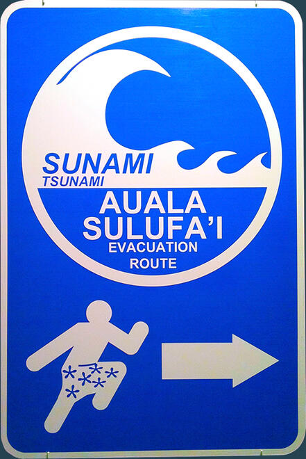
Tsunami evacuation sign.
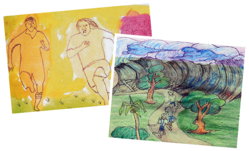
When the shaking stopped, people noticed the sea was rough and bubbly. Then it drained rapidly away from the shore. Within minutes, a tsunami swept over the islands. In some places, its height reached around 40 feet (12 meters). The earthquake had triggered the tsunami.
The enormous wave took 192 lives in Samoa and surrounding islands.
Coming Together
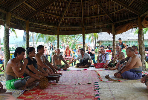
The people of Samoa helped each other rebuild homes and lives. They also held ceremonies to strengthen the connections within their community.
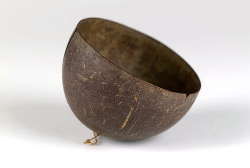
One ritual is for the leaders to pass a cup of the ceremonial drink called áva. The daughter of a high chief prepares áva by mixing pepper roots in a wooden bowl. During the ceremony, áva is passed around the group in a communal cup. Before drinking, each person pours a few drops on the ground, returning the áva to the earth.
Explore a Samoan ceremony in the slideshow below.
What causes the Earth to shake?
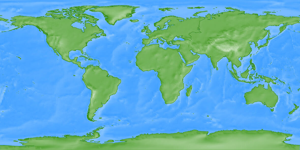
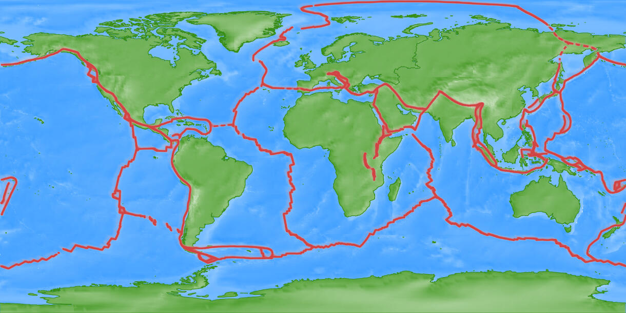
Tsunamis like the one in Samoa are triggered by large undersea earthquakes. To understand how tsunamis form, let’s first take a look at what causes earthquakes. Most earthquakes happen at the edges of tectonic plates, the big pieces of Earth’s crust that make up its outer shell. These plates fit together like a puzzle, but they are always moving very slowly, about one or two inches per year. Where the edges of the plates meet, three things can happen. Plates can collide, separate, or grind against each other. The movement between two plates can trigger earthquakes.
Drag the slider to reveal tectonic plate boundaries.
When Plates Collide
When plates collide, sometimes one plate sinks, or subducts, below another one. This can trigger an earthquake. When earthquakes cause the ocean floor to move, the water moves, too. Columns of water travel across the ocean and grow taller as they approach land, becoming a tsunami.
Watch what happens when one plate sinks below another.
When Plates Grind
When the edge of one plate grinds against another, it sometimes gets stuck and pressure builds up. When it finally breaks loose, rocks break, releasing energy in the form of a seismic wave, or earthquake.
Watch what happens when one plate grinds against another.
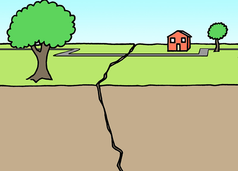
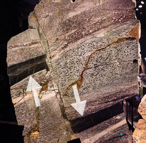
See how the dark layers on either side of this rock sample do not match up? This is a fault. Scientists study faults to learn how Earth’s crust moves over time.
How do scientists study earthquakes?
Around five million people are affected by earthquakes every year — so it’s not surprising that people want to know when the next big one will hit. But earthquakes are unpredictable. That’s because there’s no way to tell exactly when the rocks will snap from stress that builds up as the plates move. So what can scientists do? They calculate the probability that an earthquake will occur at a particular location.
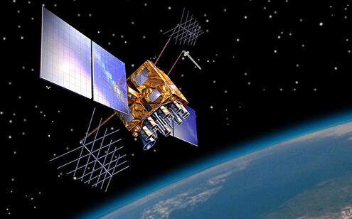
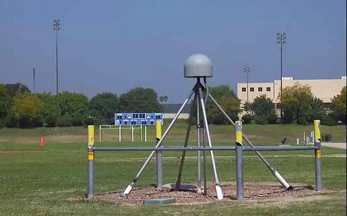
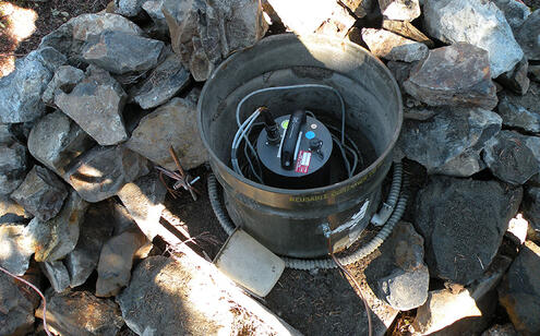
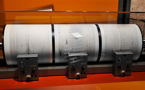
Explore the slideshow below to see some of the tools that scientists use to measure, record, and study Earth’s movements.
When an undersea earthquake occurs, scientists use computer models to predict whether a tsunami will occur. The model can forecast the wave’s speed, direction, and height as it approaches land. Local authorities can then warn communities that might be in danger.
Check out the path of a tsunami in this computer model.
Image Credits:
Row houses affected by the 1906 San Francisco earthquake, U.S. National Archives and Records Administration (NARA); Flooded town of Pago Pago, courtesy of the National Park of American Samoa (NPSA); Deeply cracked road, ©AMNH; Car crushed by house, ©AFP/Getty; Map of Samoa and earthquake epicenter, © AMNH; Children's drawings of tsunami, © Leua Latai & National University of Samoa; Tsunami evacuation sign, ©AMNH; Áva ceremony, ©Philippe Meunier/Tahititatou.com; Áva bowl, ©AMNH; Áva ceremonial cup, ©AMNH; Rock with fault lines, ©AMNH; GPS Satelite, NASA; GPS receiver, ©AMNH; Seismometer, Karl Hagel/USGS; Seismogram, ©AMNH.


 Biodiversity
 Brain
Brain
 Genetics
 Marine BiOLogy
 MicrobiOLogy
 PaleontOLogy
 ZoOLogy
 AnthropOLogy
 ArchaeOLogy
 Astronomy
 Climate Change
 Earth
Earth
 Physics
 Water
Water

