Earthquake Risk in Bangladesh
Part of Curriculum Collections.

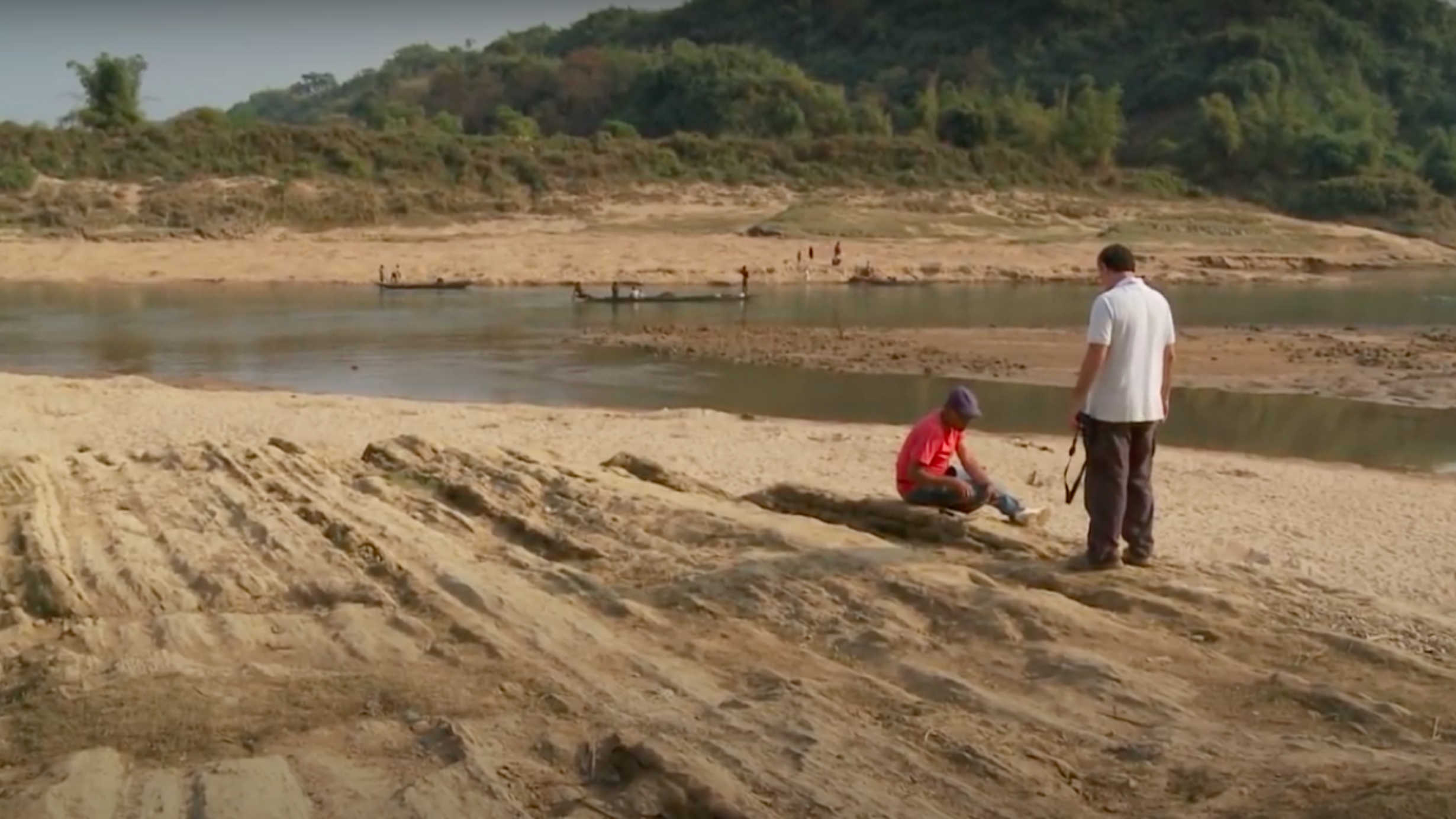
Only recently have scientists come to recognize that Bangladesh is positioned at the juncture of several active tectonic plate boundaries. Moreover, it sits atop the world’s largest river delta at close to sea level, facing both the risk posed by a quake and secondary risks of tsunamis and flooding in the quake’s aftermath. These teaching case materials show the fieldwork of an international team of scientists working to provide Bangladeshi leaders the tools they need to understand and minimize geologic risks. Using both seismic and sedimentary data, scientists are attempting to model the interactions between past earthquakes and river-course shifts – an invaluable aid in predicting future quakes and how they could impact this unique terrain.
Part 1: Background
Part 2: Collecting Data
Part 3: Results
Part 4: Beyond Tectonics